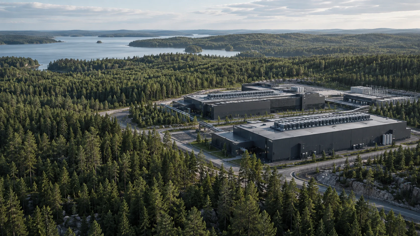
A guide to the first decision
Is your land suitable for a data center?
Land is worth an initial review when you can define its boundary, describe the project requirements and identify questions that could change the decision. A large plot or a nearby power line is not enough evidence on its own.
For landowners and municipalities in Sweden · Updated 12 September 2026
Start with one question: should we spend resources investigating this particular site? This guide helps you choose which evidence to obtain first. It does not assess an individual property. Record observations with a source, date and responsible role, and keep missing information marked as unknown until checked.
1. Define the boundary and land control
Mark the area actually being offered and identify the properties involved. State whether you own the land, represent its owner or are exploring an opportunity. Collect evidence of authority and any rights or restrictions requiring review.
Separate the first phase from desired expansion. Give neighbouring land its own open question if another party owns it. Ask the land lead to establish which areas and rights need securing before describing the site as available.
2. Read the planning documents against the intended use
Collect the current plan map, provisions, explanatory documents and subsequent decisions. Ask the municipal planning team which documents apply and what questions the proposed operation raises. Record each document’s status and date.
A positive Swedish planning opinion, or planbesked, states the municipality’s intention to begin planning; it does not finally approve the project. Keep planning opinions, detailed development plans and permit questions separate. If the planning position is unclear, define a focused document review as the next step.
Source: Boverket — Planbesked. Checked 2026-09-12.
3. Examine usable space and access together
Sketch buildings, technical areas, internal traffic, stormwater management and potential expansion within one boundary. Mark changes in elevation, existing buildings and known obstacles. Use the sketch to expose questions for design work.
Trace access from the public road network to the site. Who manages each section, and which agreements or works need investigating for construction traffic and operations? Request existing ground investigations and identify which parts of the site they cover.
4. Treat grid connection as a separate investigation
A nearby line or substation does not establish the connection available to your project. Svenska kraftnät’s guidance says to contact the local grid company first; grid companies determine the connection level.
Prepare the location, defined power requirement, phases and the milestone associated with each target date. State whether a figure means IT load, total facility load or connection requirement. Save written responses with their date, conditions and unanswered questions. Record an introductory conversation as a conversation.
Source: Svenska kraftnät — Anslut till transmissionsnätet. Checked 2026-09-12.
5. Document fibre and other utilities
Ask fibre providers to describe a potential connection point, the currency of their information and further investigations needed. If separate routes are required, request evidence of physical separation; counting providers does not answer this question.
Record water, wastewater and potential heat offtake questions against the project’s requirements. Distinguish a preference from an initial discussion and from something confirmed by a responsible provider.
6. Identify environmental questions before fixing the scope
Collect historic uses, available environmental studies and mapping for matters such as flooding, nature values and nearby homes. Note dates, coverage and whether each item is an indication or a completed investigation.
Frame questions about contamination, stormwater, noise, cooling and backup generation around the intended operation. Ask the relevant specialist or authority to clarify the next evidence and assessment needed. An empty map search does not establish that a subject has been investigated.
A checklist for the first review
For each item, record source, date, status, responsible role and next action. Use available, missing and needs review as statuses. The completed entries below are entirely synthetic.
1. Boundary and authority
Owner’s sketch available. Authority needs review. Land lead confirms the boundary and representation before commissioning work.
2. Planning
Plan map available; later changes unknown. Planning lead obtains complete documents and checks their status.
3. Space and access
One entrance marked. Rights and transport conditions missing. Land lead identifies the road manager and relevant evidence.
4. Power
A conversation recorded; written response missing. Project owner defines the load and prepares a coordinated grid enquiry.
5. Fibre and utilities
One provider identified; connection routes unknown. Technical lead requests evidence against the project requirements.
6. Environment and ground
An older investigation available; coverage needs review. Environmental lead checks the area and identifies potential additions.
Three decision situations
Illustrative, synthetic examples. These are not actual properties or client assignments.
A. Clear boundary, uncertain planning position
The owner has marked the area and collected planning documents. How the proposed operation relates to those documents remains unclear.
Next decision: Investigate planning first. Commission a document review identifying the next municipal question and the project information needed. Reconsider the site when that evidence is available.
B. Promising location, missing land control
The proposed entrance and expansion area cross neighbouring land. Authority and rights for those areas have not been documented.
Next decision: Pause assessment of the full area. Resolve land questions or redraw the boundary. Investigate the smaller site only if it still meets the project’s basic requirements.
C. Positive signals, undefined power requirement
The municipality welcomes a discussion and a power line runs nearby. Project phases and load definitions are still open.
Next decision: Complete the requirements brief and prepare the grid enquiry. Make no capacity claim in the site presentation. The next decision needs defined requirements and a response with understandable conditions.
Define a focused next assignment
Send a short site description, your role, a list of available documents and the decision you need to make. These allow discussion of an initial assessment scope. Technical investigations and property-specific legal review are scoped separately as needed.