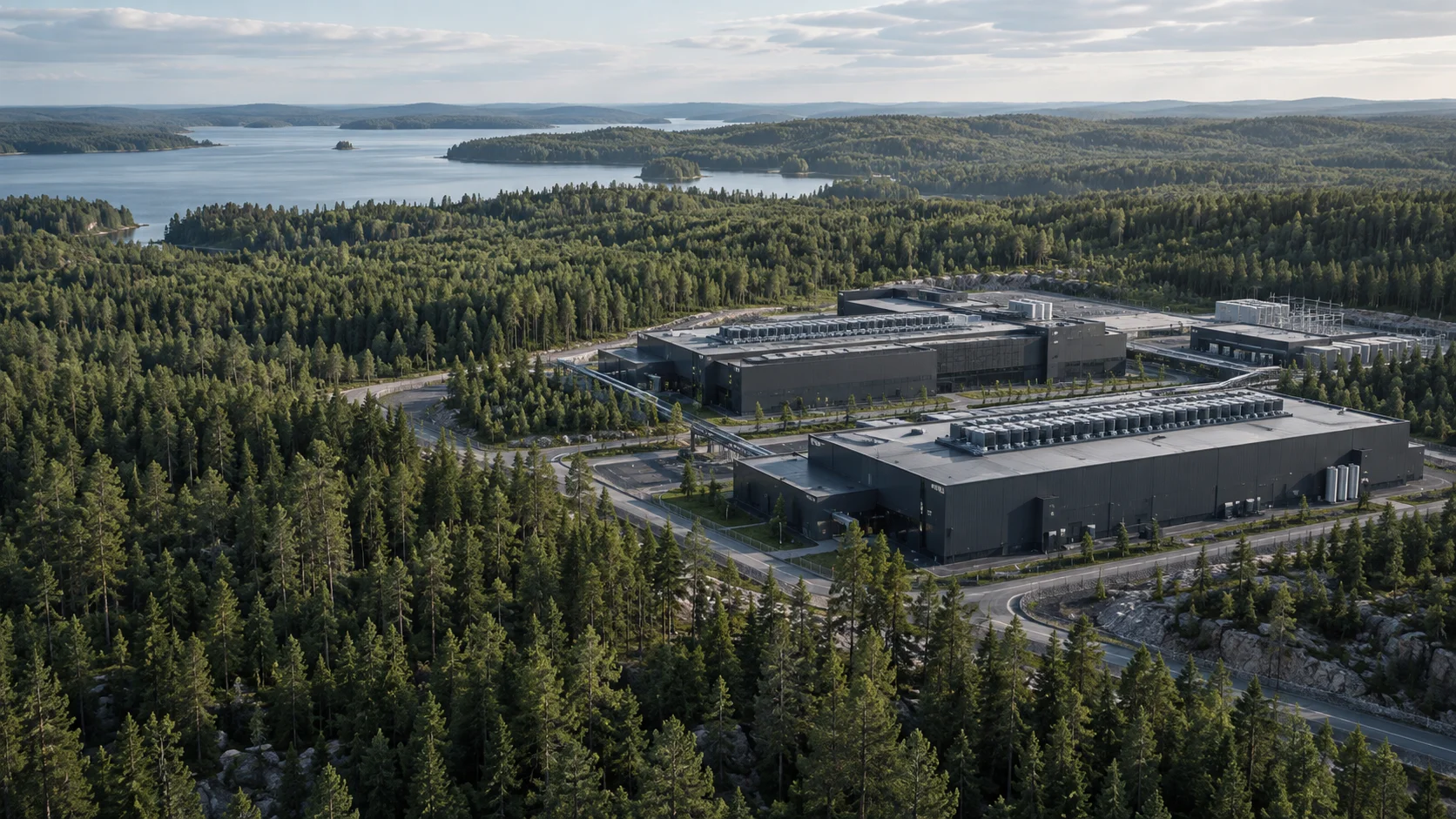
Illustrative deliverable · version A
Illustrative screening file
Decision
Buyer question: Is the available evidence enough to decide on a bounded further study — or should the work stop here?
Work done
A synthetic desktop pass keeps location, planning, grid and surroundings separate. It covers only the structure of this illustrative file.
- Document date
- 11 September 2026 — illustrative version date.
- Review scope
- Synthetic qualitative desktop structure — not a review of a real location.
Observations
The observations below show source, date and review scope. They describe what is in the file, not an outcome for a real location.
- The buyer’s own location description (stated).
- A reference to a municipal paper that has not yet been read.
- No grid, environmental or title paper in the file.
Dimensions
Illustrative table of dimensions, sources and review scope.| Dimension | Evidence state | Source | Date | Review scope | Finding |
|---|
| Land and control | Stated | Buyer location description | 11 September 2026 | Desktop structure | Boundary and title are not evidenced in this file. |
| Planning route | Document named, not reviewed | Buyer reference | 11 September 2026 | Desktop structure | A municipal paper is mentioned. Whether it is an early note, a planning opinion or a later decision is not settled. |
| Grid | Missing | No grid evidence in the file | 11 September 2026 | Desktop structure | No written grid contact is included. A regional map is not a connection statement. |
| Environment and surroundings | Not assessed | No specialist evidence in the file | 11 September 2026 | Desktop structure | No specialist study is in scope for this desktop pass. |
Assessment
Assessment: the file is enough to organise known facts and show the gaps. It is not enough to say the place is feasible, connectable or approved in planning.
Open questions
Illustrative register of open questions and proposed actions.| Question | Evidence | Why it matters | Proposed action | Role |
|---|
| Which part of the land is in scope? | A rough description. | Area and constraints are still open. | Confirm the boundary. A point is not a cadastral line. | Buyer |
| Which stage does the municipal paper describe? | Document named, not read. | An early note must not be read as a later permit. | Review the paper and record what it actually means. | Planning |
| Is there any grid contact? | No paper in the file. | The power question is unknown — not zero and not available. | Collect requirements and ask for the right technical input. | Coordination + grid specialist |
Recommendation
Commission a bounded review of the named planning paper and confirm the land boundary before any grid or design work starts. The conclusion is not that the site is feasible.
How the next evidence can change the decision
The following are two synthetic continuations of the example. They show how the same question can lead to different work as the evidence changes.
A. The planning boundary covers only part of the proposed area
- New evidence
- A hypothetical review finds that the site sketch and named planning document cover different areas.
- Implication
- The larger area cannot be described using planning evidence for the smaller one. The expansion proposal also needs its own check.
- Action and role
- The buyer confirms the project boundary. The planning lead separates the area covered by the document from the area whose planning position remains unknown.
- Recommended decision
- Redefine the review scope before drawing an overall conclusion about the location.
B. The boundary is confirmed, but the grid question remains open
- New evidence
- In this hypothetical continuation, the site sketch can be matched to the correct planning document. Load definitions and project phases are still missing.
- Implication
- Clearer planning evidence does not establish the project's power need or the connection it could obtain.
- Action and role
- The project team completes the brief, separating IT load, facility load and connection need. A site-specific grid question can then be prepared.
- Recommended decision
- Continue with a defined requirements and grid question, recording planning and connection work separately.
Prepare the project requirements brief →
Next steps
- Confirm the land boundary and the stated control.
- Obtain and review the named planning paper.
- Define the grid question and the specialist input it needs.
- Decide whether to commission that bounded review.
Options
- Proceed with a bounded document review.
- Clarify the brief before further work.
- Pause or stop this line of work.
Assumptions and limits
- Desktop pass. No site visit is included.
- Unknown facts stay unknown.
- The example is synthetic and qualitative. It is not a live land listing.
The illustrative label stays with the page. This example never becomes a real land listing in a register, map or structured data.